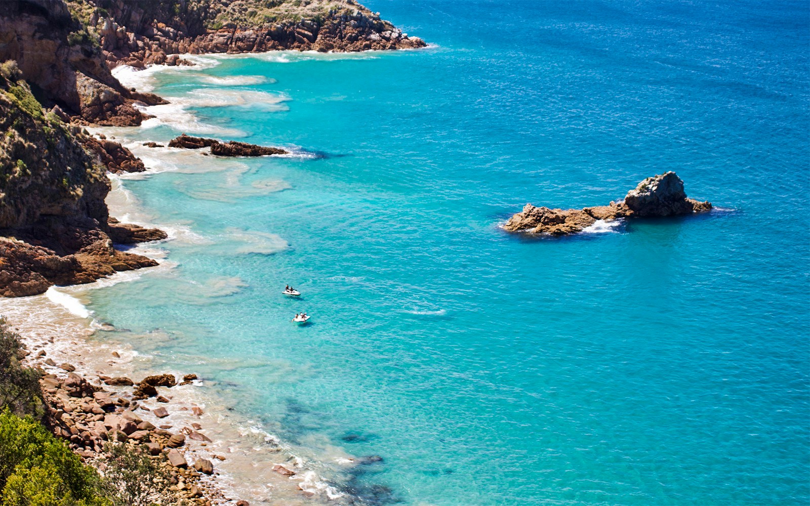
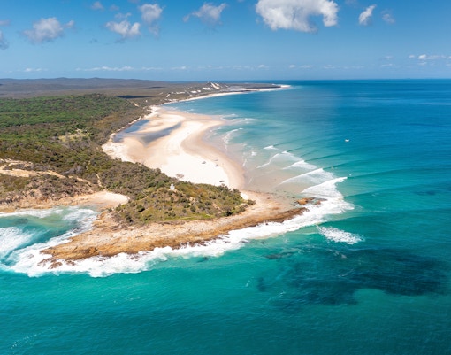
Spend an unforgettable day exploring Moreton Island — a paradise of golden beaches, crystal-clear waters, and thrilling adventure. From snorkeling around the Tangalooma Wrecks to racing down the sand dunes, every moment here is filled with excitement and discovery. Just a short ferry ride from Brisbane, it’s the perfect escape to experience Queensland’s natural beauty in one day.
Bring essentials like water, snacks, and sunscreen since supplies are scarce across the island.
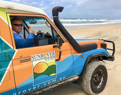
Most of the island is sandy terrain, accessible via 4WD or guided tours.
Walking paths can be uneven; comfortable shoes are recommended.
Some beach access points and lookout areas may not be wheelchair-friendly.
Guided tours can often adjust activities for comfort and accessibility.
Moreton Island is a protected national park.
Follow all conservation guidelines: no littering, no feeding wildlife, and respect restricted zones.
4WD permits are required for self-driving visitors.
Camping or fishing may require additional permits.
Pack light and stay hydrated.
Prepare for sun exposure: bring swimwear, a towel, a hat, and insect repellent.
Check the weather forecast before your trip.
Visit on weekdays for smaller crowds.
Confirm ferry times and equipment inclusions if joining a tour.
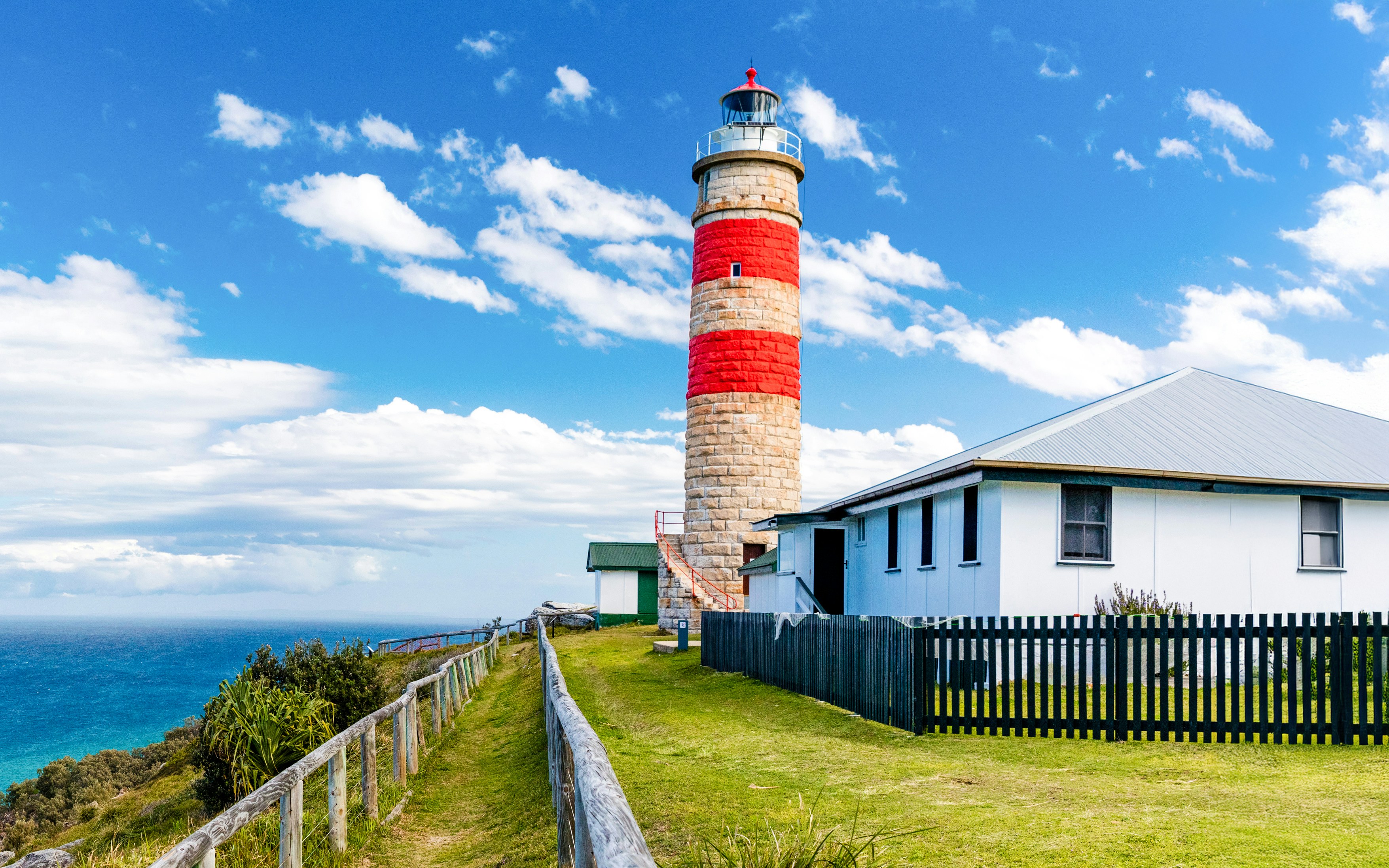
Top spots that make Moreton Island truly unforgettable
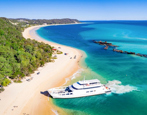
Tangalooma Wrecks
Snorkel among colorful fish and coral.
Frequently asked quesiotns about Moreton Island map
The map shows top visitor spots like beaches, wrecks, and dunes, accessible 4WD tracks, visitor facilities such as toilets and picnic areas, and key terrain features of Moreton Island.
Yes. It notes limited but well-maintained facilities including toilets, rest areas, shaded picnic spots, and a few cafés near the resort area.
No — most of the island terrain is sandy and requires a 4WD if you’re self-driving. Guided 4WD tours handle the tricky parts.
The map marks accessible paths, but many walking paths and lookout areas are uneven and may not be stroller or wheelchair friendly.
Use it to identify key spots you want to visit (e.g., Tangalooma Wrecks, dunes, snorkelling zones), check where facilities are, and plan transport or tour logistics accordingly.
You can view the interactive map or download it from the official tours website. Printed maps may also be available at ferry terminals or visitor centres.
Yes — the map emphasises that the island is protected, so visitors must respect conservation guidelines and self-driving 4WDs must have permits.
.png?auto=format&w=1814.3999999999999&q=90&crop=faces&fit=crop)